
After all the planning, the time for our tour from Innsbruck to Verona following the Via Claudia Augusta arrived. I was in the advance guard going a day earlier than the main party, getting up at stupid o'clock to load my bike on the car to drive to Gatwick for a 6:20 flight to Munich on 19th June. I had prepped the bike the day before, so it did not take long to bag the bike up at the airport, check in and take the bike to the oversize conveyor. Once that was done I had time for breakfast before going to the gate.
The flight was on time and my bike soon appeared in the baggage claim, but it took an age to re-assemble the bike - I had removed the disk rotors for the flight as they seemed particularly vulnerable. When I tried to blow up the tyres, the pump stopped working with just enough air to wheel it away. Originally I had intended to take the S-Bahn from the airport into Munich and then a train to Fussen for the start of the ride at the foot of the Alps. However, the most direct rail route was closed with the diversion further north via Augsburg that would extend the journey time by about an hour. This meant I would not get to Fussen before 15:00 even if I could get to the main Munich Station before 11:00. As this looked too tight, I opted to take a train from Munich Hbf on the direct line to my overnight stop at Ehrwald and get off before then to ride about the same distance as the original plan. The S-Bahn [similar to the London Tube] from the airport was crowded with standing room only but although the train from the main station was busy, there was no problem getting a seat beside the bike storage area and I was able to fix the bike pump on the way. I got off the train at Oberau but when I tried to pump up the tyres, the pump failed again so I had to set off with soft tyres. There were no bike shops in Oberau so carried on in the scorching sunshine riding on the smooth tarmac cycle paths through the Alpine meadows until I reached Garmisch-Partenkirchen where I was able to buy a pump, and some for lunch at a nice outdoor restaurant. Cycle path near Oberau
With the tyres properly inflated, it was much easier going particularly as the cycle route followed very a scenic route along the river valley on gravel tracks with high mountains on either side. I arrived in Ehrwald and checked into my hotel, Mairs Langasthof [very good], with Germany's highest mountain, the Zugspitze, as a backdrop. After getting cleaned up, I ate in the hotel restaurant and then went to bed where I slept like a log until morning. I logged 23 miles, 374m of ascent, 40m descent, average ride temperature 91F, max 95F
In the morning, after a good breakfast I set off towards Innsbruck to meet up with the rest of the group. The weather was sunny and very hot as I took the road down to Biberweir then started the climb up the Fernpass on a mixture of tarmac and gravel roads before the start of the mountain bike trail proper up to the pass. The climb was relentless through a series of hairpin bends on the gravel tracks at gradients up to 15% to the top of the pass where there were extensive views of the surrounding mountains and the road route snaking up to the pass below [bikes are banned from the road route as there are long tunnel sections].  View from the top of the FernpassThe trail ran downhill from there for a bit until a junction where there was a short cut to the road and the original Fernpass route with a warning sign saying that the route was not suitable for road bikes. I took the full Fernpass route and the trail climbed up on rougher gravel before descending again steeply [15%] on loose gravel. There was a large group of riders coming up the trail who were focussed on the climb so I had to weave between them - they did not hear the bell or the other riders shouts. After this the trail narrowed and there was a section on a timber walkway cantilevered out from the cliff edge then a fast narrow downhill section that was quite fun. I really enjoyed the Fernpass section and much better than taking the bike shuttle around it, although it might have been different if it was raining. Although it was a mountain bike trail I found it OK on a touring bike with rigid carbon fork and 35mm tyres.
 Bike trail on descent from FernpassEventually the trail came out onto the road at Nassereith where I started the climb up to the Meiming Plateau. This climb was all on road for about 5 miles with an average gradient of about 8% with sections of 15-18% - a brutal climb on the loaded bike in that heat. The climb topped out at Arkasten where I stopped at the Gasthof for lunch - huge schnitzels and a welcome Radler. In theory it was downhill all the way from there, though there were quite a few uphill sections as well. The route was on gravel trails through the woods and meadows down to Telfs - very scenic and I would consider touring in this are again. At Telfs I crossed the River Inn and turned towards Innsbruck on the Inntal cycle path. I reached Innsbruck and checked into the Ibis beside the main station just before the rest of the group arrived. I logged 45 miles and 773m ascent, 1130m descent, average ride temperature 84F, max 99F. After settling in, the rest of the group headed for the bike hire shop to pick up their bikes. As Mick had been suffering badly from back pain in the weeks before the trip he had opted to hire an e-bike. Once we had parked the bikes in the hotel car park we set off looking for a suitable restaurant and found a large busy Italian restaurant that could accommodate us all.
In the morning, we set off at 9:00 after breakfast and headed through the town centre and through the Old Town to the cycle path beside the River Inn in the already sunny and hot conditions. The first section of the path is sandwiched between the river and the motorway. The surface was mainly tarmac on a dedicated cycle path. As we got further from Innsbruck the valley narrowed with the mountains on each side closer with the cycle path running beside fields and through Alpine meadows. By mid-day we had reached Telfs and crossed the river into the town where we had a nice business lunch at a very reasonable cost. After re-crossing the river onto the cycle path again, the cycle path continued through the fields for a bit then headed uphill on road for the first climb. After this the path continued through woods and across streams with in a series of ups and downs, some quite steep. We crossed the river again at Roppen and found the road closed for tarmacking but we diverted round it by riding through someone's back yard. The heat was beginning to take its toll now - my Garmin logs the actual temperatures and it showed an average for the ride at 90F and a maximum of 106F. Some of the group went ahead and I stayed with the rest at a slower pace although the hills did not get any easier - one signposted at 18% and there was a strong headwind blowing down the valley. When we got to Imst station the route then headed back on the VCA to Imst, up a mile and half climb on the main road in traffic at 6.5% - who picked the hotel at the top of a hill?. Anyway the hotel was great and after a beer or two to recover we ate in the hotel that evening. I logged 43 miles and 449m of ascent, 216m descent, average ride temperature 90F, max 106F. Inn cycle trail
After much discussion the consensus was for an early start to give us more options for the bike shuttle up the Reschenpass, so we left at 8:00 after breakfast. We rode back down the hill to the river again and headed west following the VCA. The route goes steadily uphill on a gentle average gradient, but there were lots of short sharp ups and downs along the way. About 14 miles in we reached Landeck and stopped for a coffee. This was the first point where a bus shuttle could be taken, but all opted to carry on the Pfunds. There was a bit of confusion as we were about to set off again as Ray could not find the key for his bike lock. It turned out that Lin had asked Len to lock her bike at the cafe but he had locked Ray's bike instead - quickly sorted when Lin found she had a spare key. Inn cycle trail
I decided to take a short cut back on to the route! - after climbing up a hill for a bit and reaching a dead end we had to go down the hill again to get back onto the route. The route was a little lumpy after that but we kept on without stopping to try and reach Pfunds in time for the first Radbus at 13:28. The route crossed the river at times from Switzerland on the right hand bank and Austria on the left hand bank, but no border signs. We reached Pfunds but it took us a bit to find the bus stop just 8 minutes before the bus was due. It turned up on time, there was no queue and the bus and bike trailer were empty. Seven bikes and twenty-two panniers were loaded on to the bike bus at Pfunds allowing the four of us going on to ride up the pass to ride light. The bus passed through some lovely countryside and at least three long tunnels. The driver kindly dropped the group off as near to our hotel as he could. Then the seven carried the 22 panniers off the bus, then to the hotel and on to the appropriate bedrooms - we were so pleased to be rid of them all and enjoy the free afternoon tea and cakes on offer Those that took the bus logged 35 miles and 637m ascent.
After the bus left, SueP, David, Brian and I headed back into Pfunds for refreshments before continuing onwards. We continued on the cycle path from Pfunds and then opted to turn off to visit the old Roman customs post at Altfinsternmunz where the valley narrows to a steep sided gorge. There is a bridge over the river at this point that was constructed by the Romans to charge dues for passing and to control access. The bridge has a defensible tower and a proper fort built into the vertical cliff face to house the soldiers.  AlfinstermunzThe route back to the path involved a steep climb up to the road again - so steep that I had trouble with my front wheel lifting and the Garmin showing 17% gradient after it levelled out a bit. Whilst I recovered at the top of the climb, two younger men nonchalantly rode up, but on mountain e-bikes!. Once on the road it climbed a little then there was a long downhill run through a tunnel to the official Swiss customs post at Martina. We were not stopped at the border but then started on the 5 mile climb through the 11 numbered hairpin bends to Norbertshohe at the top of the pass. The gradient averages about 6.5% with shorter sections of up to 9%. At the top of the climb we took the obligatory photos and then rode downhill into Nauders and the hotel, although this took a bit of finding. The hotel was great with half board included and the cheapest of the week - recommended. I logged 49 miles, 1081m ascent, 508m descent, average ride temperature 74F, max 95F. Nauders was heaving with cyclists for the annual Dreiländergiro Three Countries Tour and other races held over the coming weekend. We enjoyed our evening meal so much that we missed the night race on a circuit around the town, being just in time to see the winner spraying the champagne.
 Sue having climbed up the pass
In the morning after breakfast, whilst the rest of the group set off, Len and I went looking for a bike shop as his bottom bracket was making a lot of noise. The bike shop tightened up the cranks and sprayed lubricant into the bearings and test rode it - this did not cure it however as it still clicked once we started on the climb out of the town. There was a 4 mile [gentle?] climb up to the top of the Reschenpass - OK there was a fair bit at 7% that got the pulse going. Len and I met up with the others at the top of the pass. From there it was across the border into Italy and a gentle descent around the lake where I got a pinch flat. The others carried on whilst David stayed with me whilst I fixed it. We then took the road rather than the path to try catch up with the others. When we got to San Valentin riding at pace we rang the others but they were still ahead so we headed across to the cycle path and chased after them. The cycle path around the second lake was more steeply downhill and twisted and turned to follow the lake edge. There was a 30kph speed limit imposed but as we chased some roadies we reached double that as David and I swooped downhill where we caught up with the others at Burgeis in time for coffee and cake. The cycle path continued downhill although not quite as steeply for a long spell - a wonderful long downhill run for about 10 km. The path then flattened out for about 20 km before the rest of the route was downhill although not as steep as the first section. Just outside Merano the path descended steeply in a series of 7 hairpin bends down to river level again where we continued on into the town and our hotel. After putting our bikes in the garage we checked in then went into town for a meal beside the river. I logged 56 miles, 316m ascent, 1271m descent, average ride temperature 78F, max 99F. Reschensee at top of Reschenpass
In the morning after breakfast we assembled at the garage to set off but Carol could not find her key to her bike lock. After a good search of luggage, room and lift we borrowed a hacksaw from reception and cut the lock off. We followed a convoluted, but signposted, route through the town to the cycle path through the orchards back towards the river and the VCA. The route was generally flatter after we reached the river and followed close to it most of the way. It was another hot day and we became spread out a times, stopping to regroup at intervals. We stopped at a Bicigrill beside the cycle path for lunch and later at a cafe for a welcome ice cream. As we got closer to Trento, the cycle path turned inland about a mile to cross a tributary. This was a slight incline to the bridge that showed as quite a spike in the elevation profile. Unfortunately Mick's battery had given up the ghost and so he had to pedal this much heavier bike from there to the end. Once back to the river we passed preparations for what appeared to be a race on the river with rescue boats at regular intervals down the river all the way to Trento. The roads in the centre of Trento were closed to traffic for this annual raft race so it was an easy ride for us to the hotel in the centre of town. After checking in we ate at a restaurant not far from the hotel and walked around the centre afterwards where there were musical performances staged at different locations. I logged 55 miles, 130m ascent, 204m descent, average ride temperature 82F, max 91F.
In the morning, the core group left Trento and continued on the VCA towards Rovereto on a long reasonably flat ride most of the day. They then had to climb up out of the valley on a very steep winding track before resting at the top and then set off together for the long steep downhill into Torbole. Somehow the group got split up, but all finally arrived at the hotel. Here Mick and David managed to pack all the bikes and panniers into a very small and already half full bike lock-up. Now free of bikes and panniers they made our way down to Lake Garda - a ten minute walk. They logged 28 miles with 307m ascent and 443m descent. Dinner in Torbole overlooking Lake Garda
Ray and Sue P found an excellent restaurant overlooking the lake where we had dinner out of the very strong wind. After checking out of the hotel we walked slowly down to the pier to catch our boat. David had got the tickets and after a group photo taken by a fellow passenger we set off for Limone as here we were to change for the hydrofoil to Sirmione. On boarding we discovered our tickets were not valid for the hydrofoil so David had to go to the ticket office while we waited by the boat that was about to leave. Luckily David emerged with the ‘extra’ tickets and we set off. We then found, when the ticket inspector came round, that David had only been given two extra tickets and we were short of eight! This was quickly remedied by paying the extra and we relaxed for the ride. At Sirmione we had time for a quick lunch overlooking the lake again and were able to leave our bags at the restaurant while we had a wander around the rather lovely town. We then got the shuttle bus to the main bus line into Verona. The bus route went past our hotel so we were able to disembark just 100 yards away. Waiting for the ferry at Torbole
As I was taking a different route, I had arranged to take a bike shuttle bus over the pass to the Valsugana cycleway. I was surprised to see that I was the only one on the bus and it did not take long to drop me and my bike off at Pergine above Trento. I rode out of the town to the cycle path around Lake Caldazanno and then down the Valsugana. This was steadily slightly downhill for most of the way, but as the valley narrowed between the vertical cliffs of the Dolomites on either side the headwind made it hard work. I stopped a three Bicigrills along the way for a Radler and at one for lunch. When I got to Grigno, I missed a sign that said the cycle path was closed to all traffic ahead and when it was closed off had to retrace my steps and take a road diversion to rejoin the route further on. This is where the valley is a narrow gorge with the road and rail lines tunneled through the mountains and the cycle path is on a steel frame cantilevered over the river out from the cliff face. Once past this section the route reverts to the provincial road all the way to Bassano del Grappa where I rode into the town centre and checked into my hotel. I went for a walk around the town before dinner and see the Alpini Bridge designed by Palladio and have another gelato. I logged 56 miles, 260m ascent, 600m descent, average ride temperature 77F, max 84F. Valsugana at Primolana
In the morning I decided to cycle all the way to Verona rather than take the train for the last section from Vicenza and set off after an early breakfast. The entire route mostly followed cycle routes, but these were all on road, some quiet country lanes and some very busy main roads. I reached Vicenza in the late morning and cycled through the town admiring the Palladian architecture but did not stop long as I still had a long way to go. The route had been flattish with the odd hill up to this point, particularly where the road was closed and I had to sort out a diversion around. The route out of Vicenza went via Monte Berici that involved playing with the traffic on a six lane highway. The road up climbed steeply at first [>15%] on a series of hairpins then went straight up to the church at Monte Berico at a steady 10% gradient - not fun in the heat on a fully loaded bike. When I reached the church where a group of cyclists had gathered, I thought that this was the top of the hill but a quick check on the Garmin showed I still had another 10km to the top of the Colle Monte Berici [note the one letter difference in the names] The road went down before going up steadily at between 5 and 10%. Once at the top, there was a 220m of descent over 5 km down to the plain again. The route was generally flattish after that passing through vineyards occasionally but often on busier roads. The route passed through the walled city of Soave that looked interesting as I diverted through it, though all the shops and cafes seemed to be closed for lunch. On the outskirts of Verona the route followed a gravel cycle track for a section into the city. Overall not a pleasant ride with too many busy road sections. I reached the hotel before the main group and locked my bike away in their underground garage. I logged 74 miles, 634m ascent, 677m descent, average ride temperature 85F, max 99F
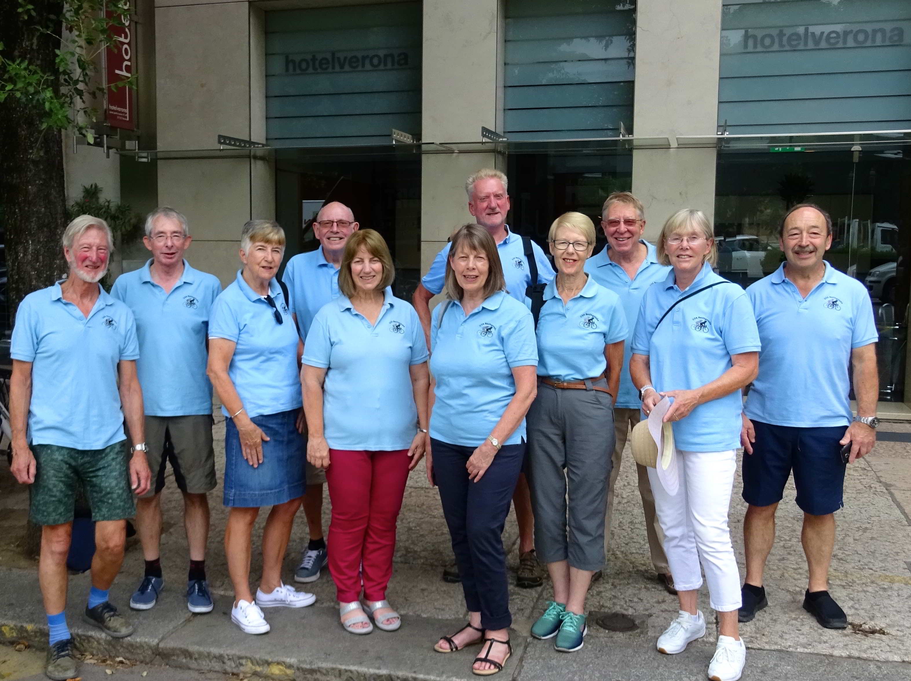
After we had checked in we had two days to explore Verona eat, drink and relax. Mick and I made use of the free bikes provided by the hotel whilst the others walked everywhere. The journey to the airport was straightforward using the Aerobus [I cycled] with no hassles catching the flight home.
Trip Video
After we got home David and Sue hosted a re-union supper where a video that David had compiled was shown - it is too large to allow online access, but is available to group members.